The Organ Mountains
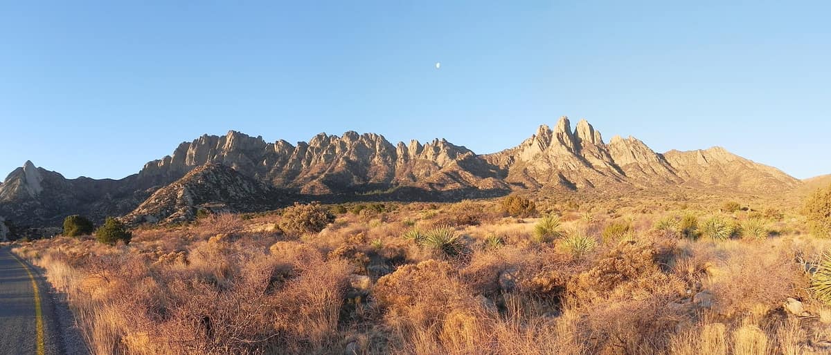
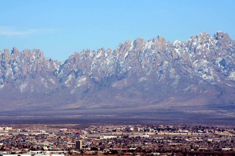
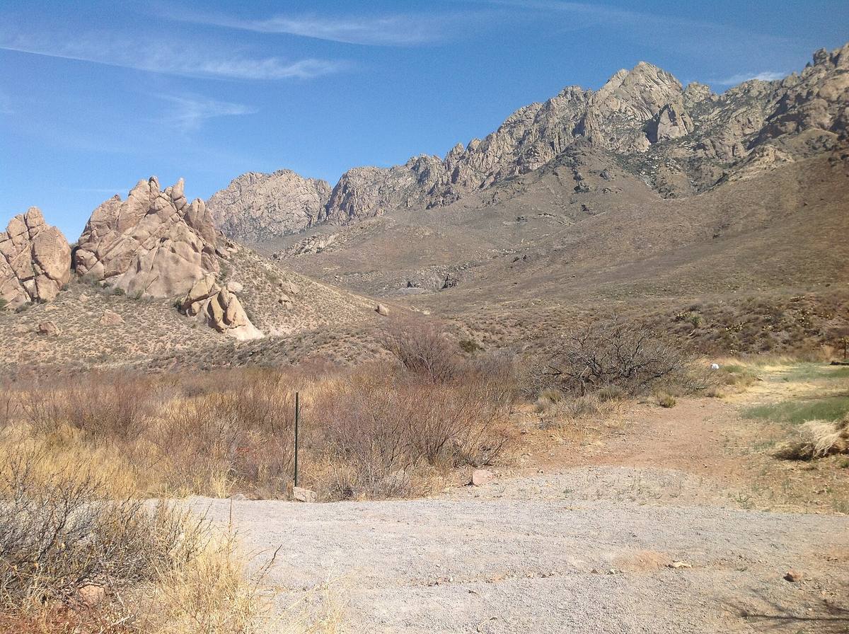
The Organ Mountains rise about ten miles east of the city. Their granite needles give the range its name; BLM trails at Dripping Springs, Aguirre Springs, Baylor Canyon and Soledad Canyon reach into them.


Discover The Organ Mountains
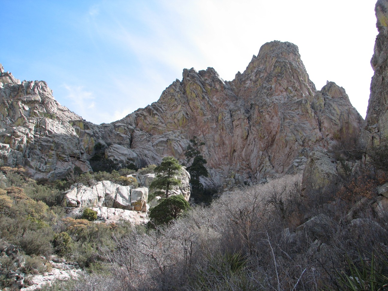
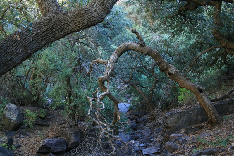
The highest peak, Organ Needle, is 8,982 feet. The Needles are a narrow ridge of vertically jointed granite; south of them most of the range is purplish-gray rhyolite, and the small southern section is limestone. About 870 plant species grow in the range, several found nowhere else. (Wikipedia)
The Bureau of Land Management keeps hiking trails open from four places: Aguirre Springs Campground, Baylor Canyon Road, Dripping Springs Natural Area and the Soledad Canyon Day Use Area. The Pine Tree Trail loop at Aguirre Springs is 4.5 miles and climbs from 5,600 to 6,880 feet. (Wikipedia)
The Organ Mountains-Desert Peaks National Monument, designated on May 21, 2014, covers 496,330 acres around Las Cruces. It holds 243 known archaeological sites and 22 miles of the historic Butterfield Stagecoach Trail. (Wikipedia)




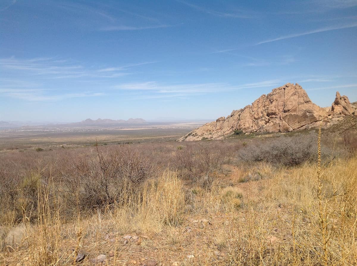
Las Cruces magic: Desert peaks, valley farms and a chile that drops at midnight
→
Inquiry
We read everything
LET’S COLLAB. Run a business in Las Cruces? Want to be listed or featured, spotted something to fix, or want to bring Made In to your own town? Tell us.